
Minneapolis, my current hometown, oh how I have mixed feelings for thee. As someone who loves being surrounded by nature, living in a city can be really difficult sometimes. I've lived in Minnesota my entire life, so I'm used to the fact that the further north you go, the more interesting the landscape gets, but how about right here in the metro? What does it have to offer? Well, after living here two years and spending many frustrating hours trying to find places to photograph, here is what I've come up with.
1. Interstate State Park in Taylors Falls, MN

Located exactly an hour from Minneapolis, Interstate State Park is quite the departure from the city. With dramatic views of the Saint Croix River and easy accessibility this place is an easy day, or half-day trip.
Quick geology lesson: Over 1.1 billion years ago, volcanic eruptions from the Midcontinent Rift produced lava flows across this region. These flows eventually solidified into a fractured basalt and was then covered by a shallow sea. Fast forward to 10,000 years ago, when the floodwaters from a melting glacial period tore through what is now the Saint Croix River Valley and eroded the soft sediment that had settled into the basalt floor. As a river developed in the area, the main gorge was carved by the flowing water creating the Dalles, which range from 40 feet to almost 200 feet tall (probably the one I'm standing on.) Basically, this place was created by lava and ice. Two complete opposites, but both very powerful.
So I bet you're wondering where the best spots are...
Well, the Minnesota side tends to be quite busy, and is covered in boardwalks, so it's not the most adventure-savvy area. If I were you, I'd drive across the bridge into Wisconsin and pay the $10 fee to get into their side of the park. After entering the park, pull over at the first obvious parking lot on the right side of the road. This spot marks the beginning of the infamous Ice Age Trail, which is 1200 mile trail that winds up-and-down the state of Wisconsin.
Then, I would proceed down the little path towards the river and take in some of these incredible views.


After you've taken some epic selfies or whatever, hike back to the road. Leave your car in the lot and walk down the main road towards the curve. A few hundred yards down from the parking lot, you'll see a break in the brick wall that lines the road. Follow the small path beyond this wall and it will take you right down to the river's edge. This is a great vantage point, and might be a good spot to sit back and relax for awhile.


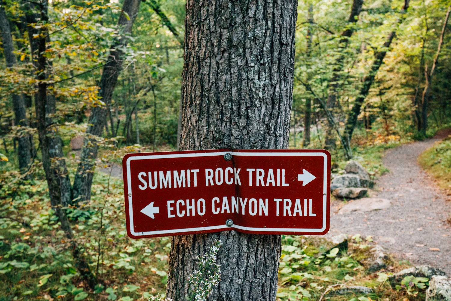
After spending some time by the riverside, hike back to your car and drive a bit further into the park. About 1/4" mile down the road, you'll see another small parking area with a sign for the Summit Rock Trail. This trail is a half mile loop that brings you to the highest point of the bluffs. At the top of the trail is a small deck which has some nice views, but it's a bit obscured, so I would recommend swinging yourself around to the other side, which will get you outside of the trees a bit.


2. Willow River State Park in Hudson, Wisconsin

I was a bit hesitant to add this place to the list, as I feel a lot of people in the eastern suburbs of the Twin Cities already know about this place, but I've gotten so many inquiries after posting photos of Willow River, that I thought I'd give it a go. Willow River State Park is located only 45 minutes from downtown Minneapolis, and is one of the most visited state parks in Wisconsin. The main attraction is Willow River Falls, which cascades through 200 foot deep gorge towards Little Falls Lake.
After you've paid the $10 entrance fee at the ranger station, drive all the way to the furthest lot near Little Falls Lake. From there, you'll take a trail that's approximately 1.5 miles long towards the falls. It's more of a walk than a hike, so no need to bring boots or anything like that. If you're looking to avoid the hike and just want to see the falls, just simply park in one of the closer lots.
The falls really do come out of nowhere. Since they're nestled in an isolated gorge, you wouldn't really know they were there until you see them. There's a bunch of cool photo spots around the falls, and they're all pretty obvious. Make sure to take the stairs up to the overlook to watch the sunset over the distant valley. Other than that, this is just a nice place to relax. Keep in mind that this place can get very busy, so weekdays or very early mornings are going to be your best bet to have some alone time.


2. Hallway of Trees - Rice Creek Regional Trail

Located just off of 35W North, is a very beautiful 150 yard long segment of the Rice Creek Regional Trail. There isn't an official name to this place, but I like to refer to it as the "Hallway of Trees." There isn't much else around this area, but I think this place is definitely worth a visit if you're looking for a unique place to photograph.
Park in the small lot north of County Road 1 and just follow the path. Very easy to find.


3. Arcola High Bridge

The Arcola High Bridge is the Midwest’s version of the infamous Vance Creek Bridge. Towering nearly 200 feet above the Saint Croix River Valley, the steel bridge spans half a mile between Minnesota and Wisconsin. The bridge was built in 1909 by the Wisconsin Central Railroad and was added to the National Register of Historical Places in 1977. It’s a beautiful piece of engineering.
I wouldn’t recommend going on the tracks here, as the railroad won’t hesitate to press charges for trespassing, so just admire from afar. Park your car on the shoulder of Arcola Trail, and walk below the tracks down to the river. I would bring some hiking boots, as the trail is not maintained and can be very muddy.
Disclaimer: Do not trespass onto the tracks. Lots of people do, doesn't mean you should though.


