
Day 3: Big Four Ice Caves
I came to the harsh realization yesterday that I was traveling during the shortest daytime period of the year. The sun was rising at about 8:00 a.m. and setting before 4:30 p.m.. It was a difficult pill to swallow, but it also meant that I needed to capitalize on every ounce of daylight, thus 6:30 a.m. wake up calls are going to become the norm.
Last night, Madison, a friend of Wiley's, came over and proposed that we head to the Big Four Ice Caves. We decided thatMadison and her friend Jenny would pick us up at about 7:15 and we would head north towards Granite Falls. Since I was in such a foggy state, the hour drive from Seattle to Granite Falls felt absurdly quick. From Granite Falls, we needed to head east about 25 miles to the trail head. The distance wasn’t inordinate, but the winding roads caused the leg to take longer than expected.
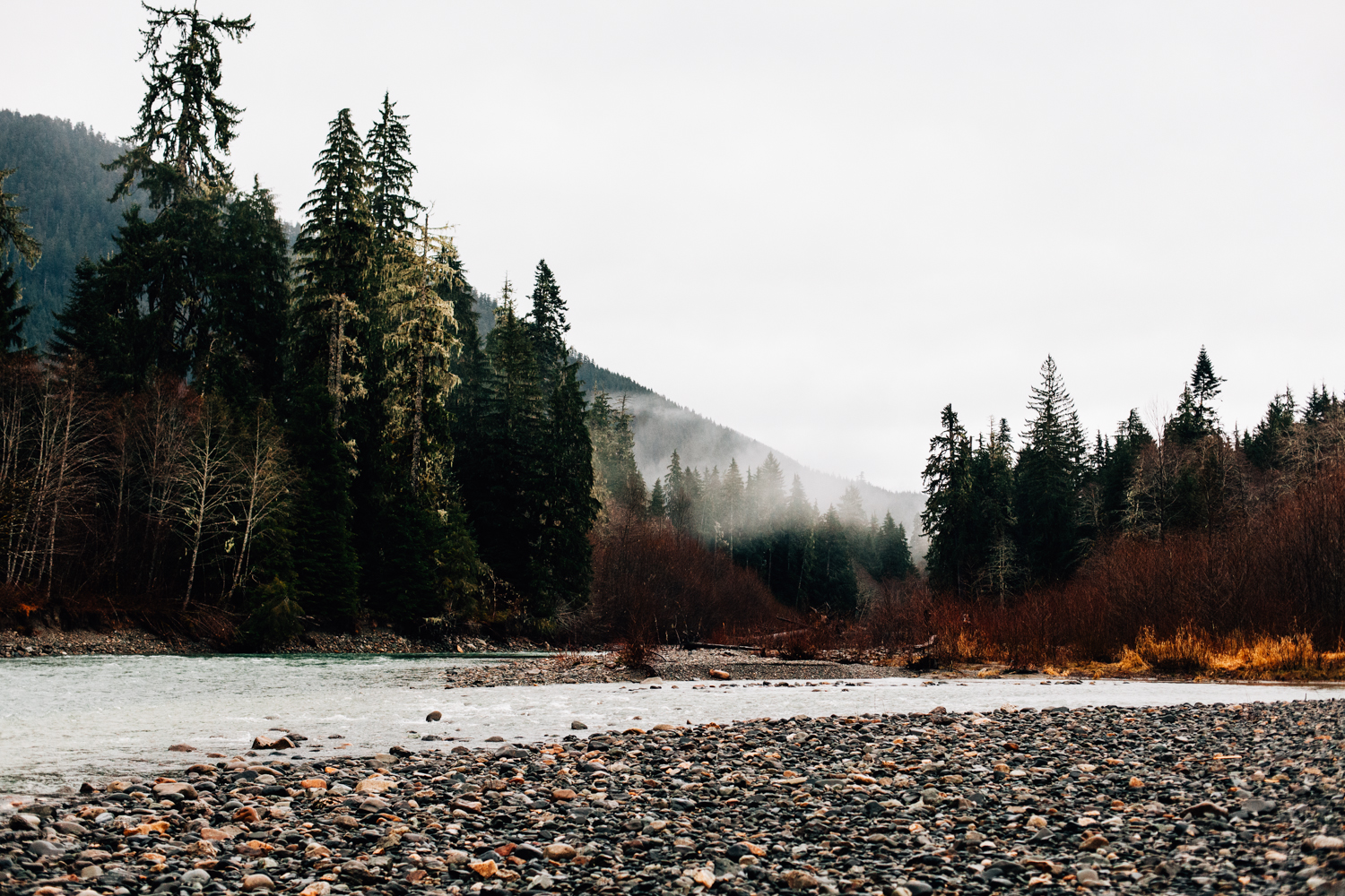
We made a pit stop about 15 miles out from the trail head to explore Canyon Creek, which runs parallel to Mountain Loop Highway. We vaulted over the guardrail and descended the mossy boulders to the riverbed. The clarity of the frigid creek was stunning . It must have been fed from glacial runoff and snow melt.
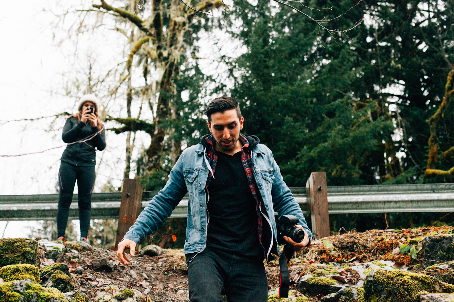
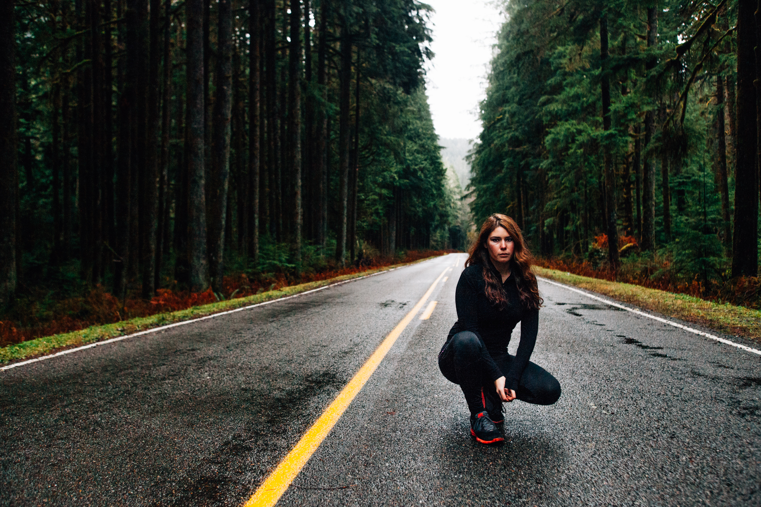
Another five miles or so down the road we stopped again to take some photos in the middle of the highway. We hung out in the middle of the road for about 15 minutes without a single car driving past us. It really made me realize how isolated the Pacific Northwest can feel. Just like Olympic National Park, you could go miles without seeing a single person. I took a few photos of Madison posting up.
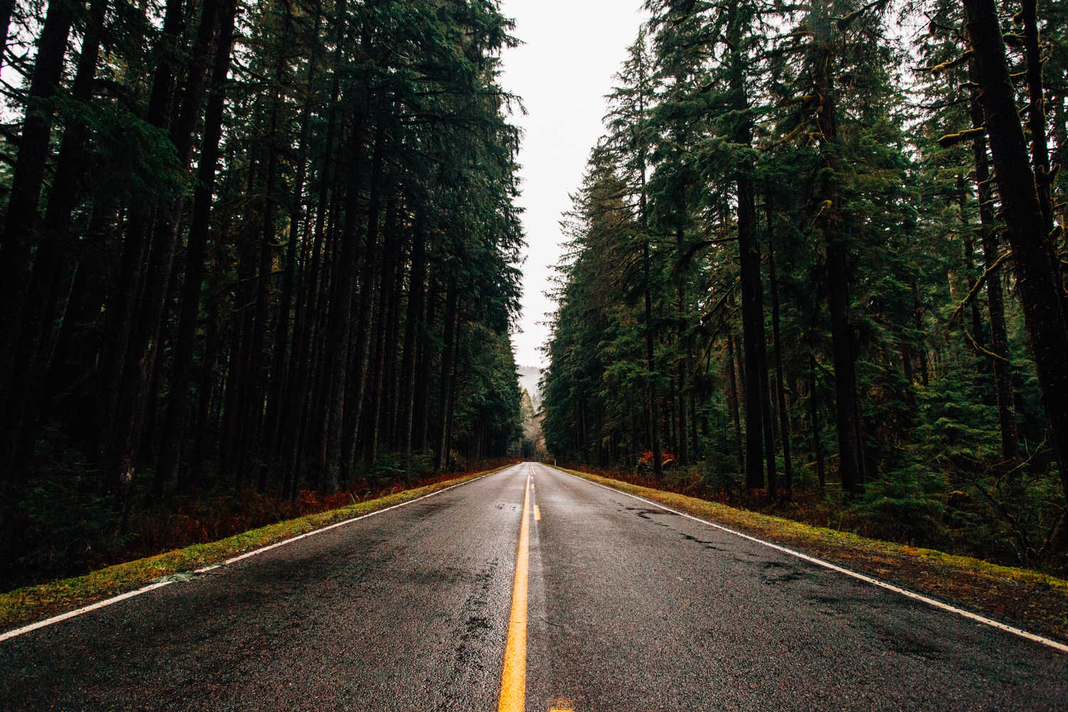
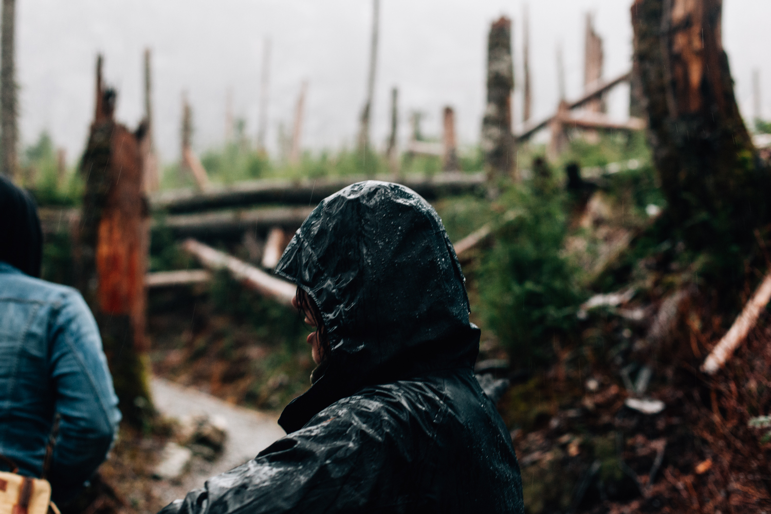
About 10 minutes after we finished our highway photoshoot it started to rain. I knew from the beginning of the trip that the first two days were going to be the nicest days in Seattle, but there’s no way I could’ve ever comprehended how it rains in the PNW. When it rains, it pours.

We reached the picnic area at the base of Big Four Mountain at about 9 a.m. About five minutes after stepping out of the car, it began to downpour. Like, really downpour. We headed back to the car for a few minutes, before we decided we didn’t have anything to lose, so we began our hike.
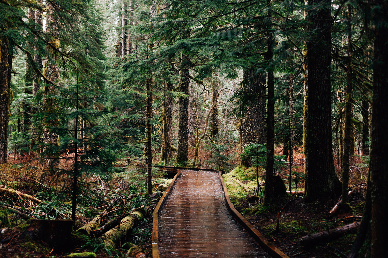
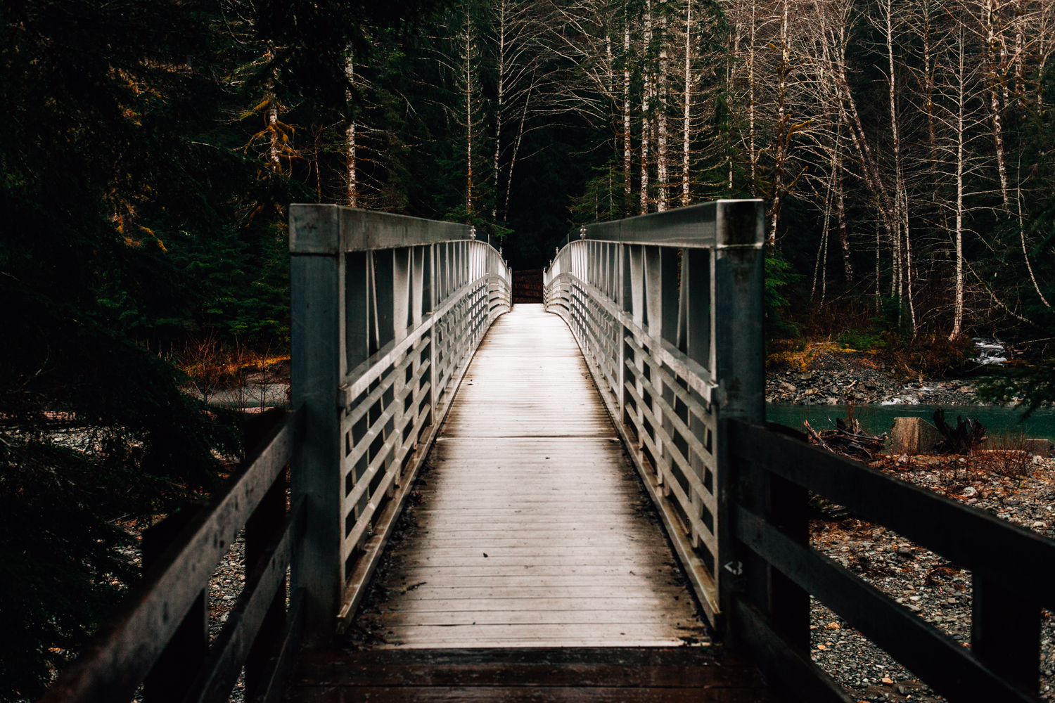
The hike up the caves was gorgeous. The path winds about a mile through a heavily forested area brimming with massive downed trees and small streams. Near the beginning of the hike you pass over the Stillaguamish River and then you begin the 200 foot vertical ascent towards the caves.
The trail itself was very well maintained and was composed of gravel and wood. The hike was very easy, so no worries about being too exhausted to appreciate the views.
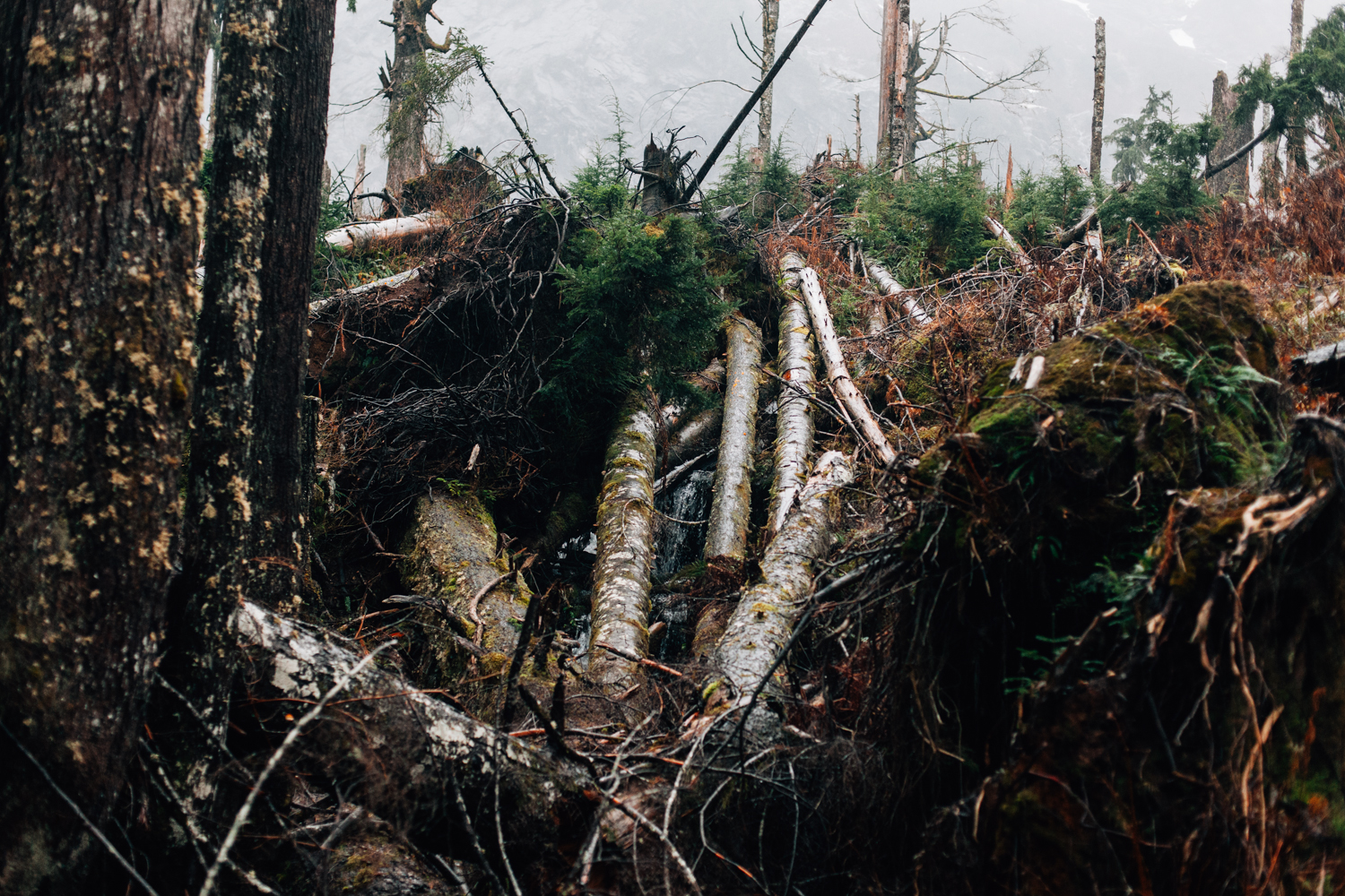
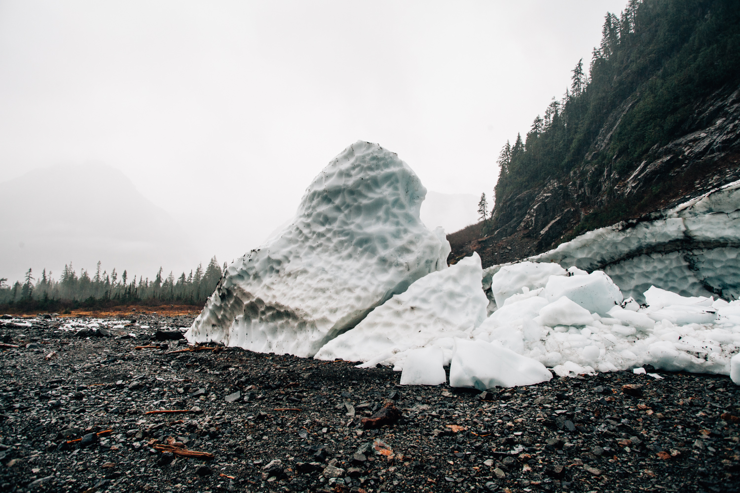
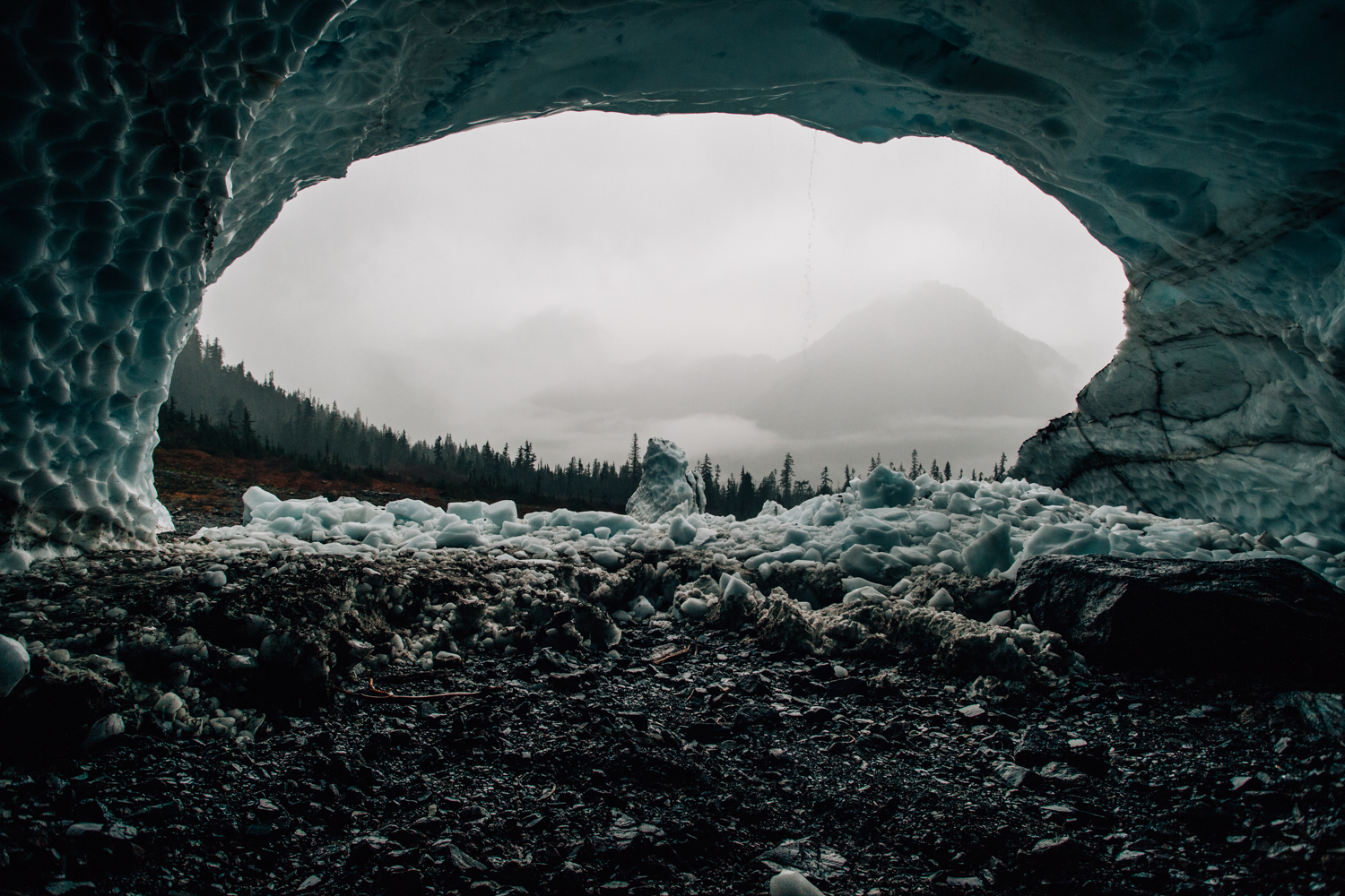
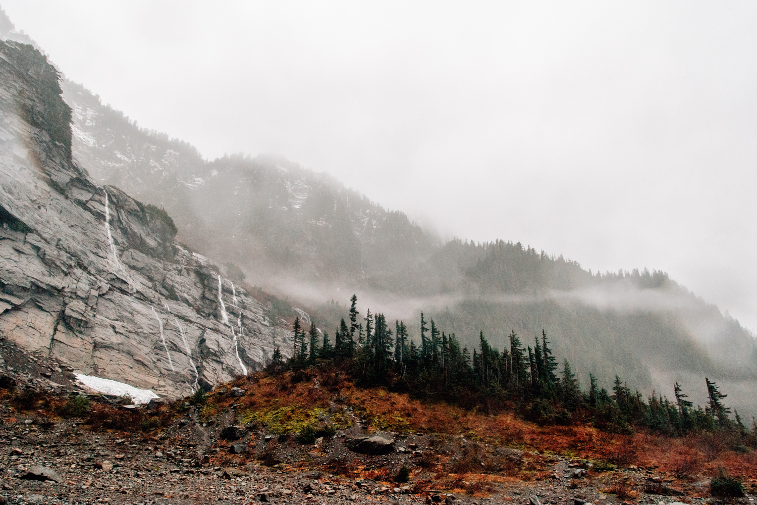
After about 20 minutes of hiking, we exited the forest into the rock field in front of the caves. Upon seeing the cave, we were astounded by the sheer size of them. Even from a distance, it looked like a massive hole in the side of the mountain. The caves were enveloped by the sheer cliffs of the surrounding mountain. Several small streams were cascading down the rock face and dissipating into the abyss. The field in front of the cave was covered in boulders of various sizes as well as ice blocks that had torpedoed down the mountain beyond the crevasse. It was a scene straight out of the Lord of the Rings.
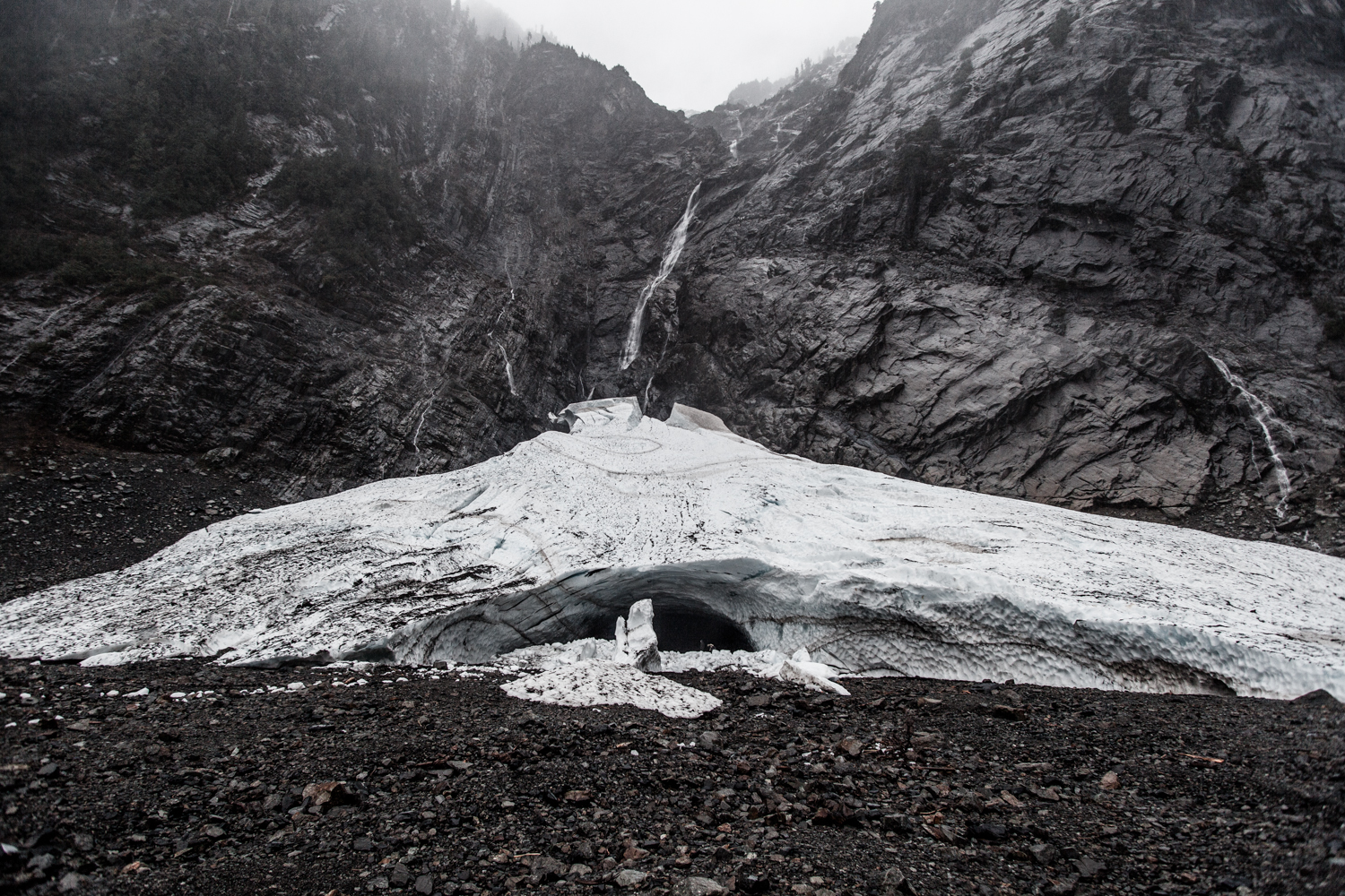
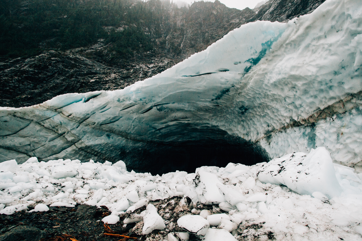
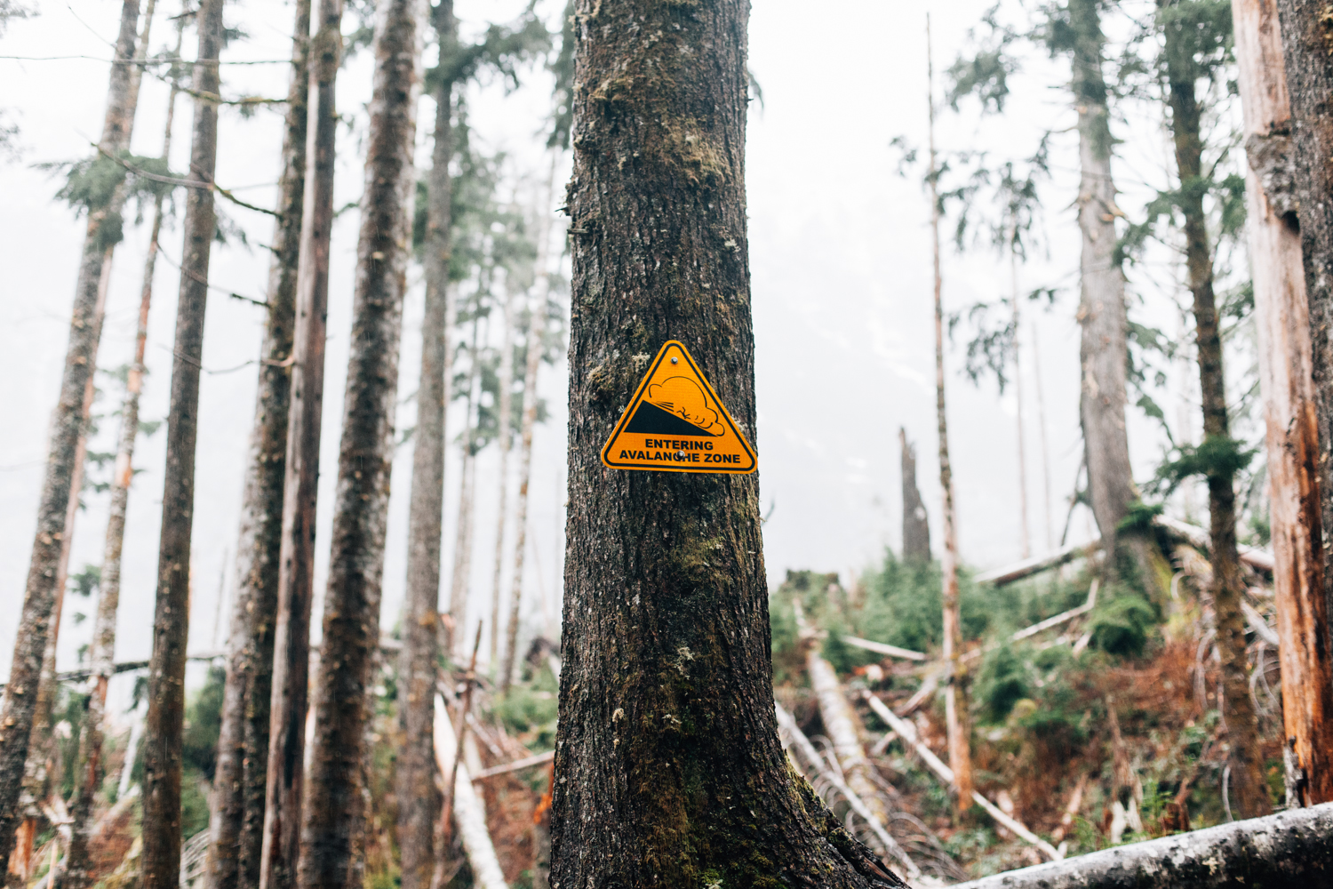
We were completely soaked by the time we came upon the entrance to the caves. Standing there, at the mouth of the lowest-lying glacier in the United States, was such an amazing feeling. Having already accepted the dangers of entering the cave, we needed no further discussion, so we pressed on. Gaining admittance to the cave was easier said than done, the icefall was incredibly slippery and I had to be very intentional with each step.
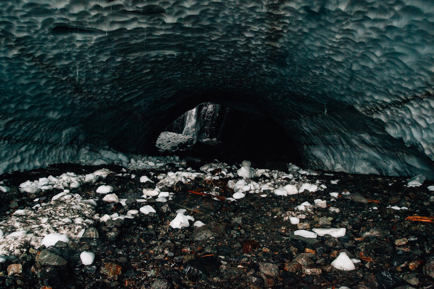
Madison had already raced ahead towards the waterfall at the back of the cave, but I was more than okay simply taking my time. The interior of the cave was dark and ominous. Water trickled down from the ceiling; more heavily in some spots than others. Large blocks of ice that had fallen from the roof of the cave lay throughout. About halfway to the back of the cave there was a small stream which made birth from the waterfall.

Wiley and I caught up with Madison, who had already made it to the back of the cave, but had come back for us, and we all edged closer to the falls. As we moved deeper and deeper into the cave, we all realized how dark it was. It was extremely difficult to see. The waterfall at the back of the cave was also deafening and spewing a thick mist into the air. It was all very disorienting. Especially being in such a dangerous location.
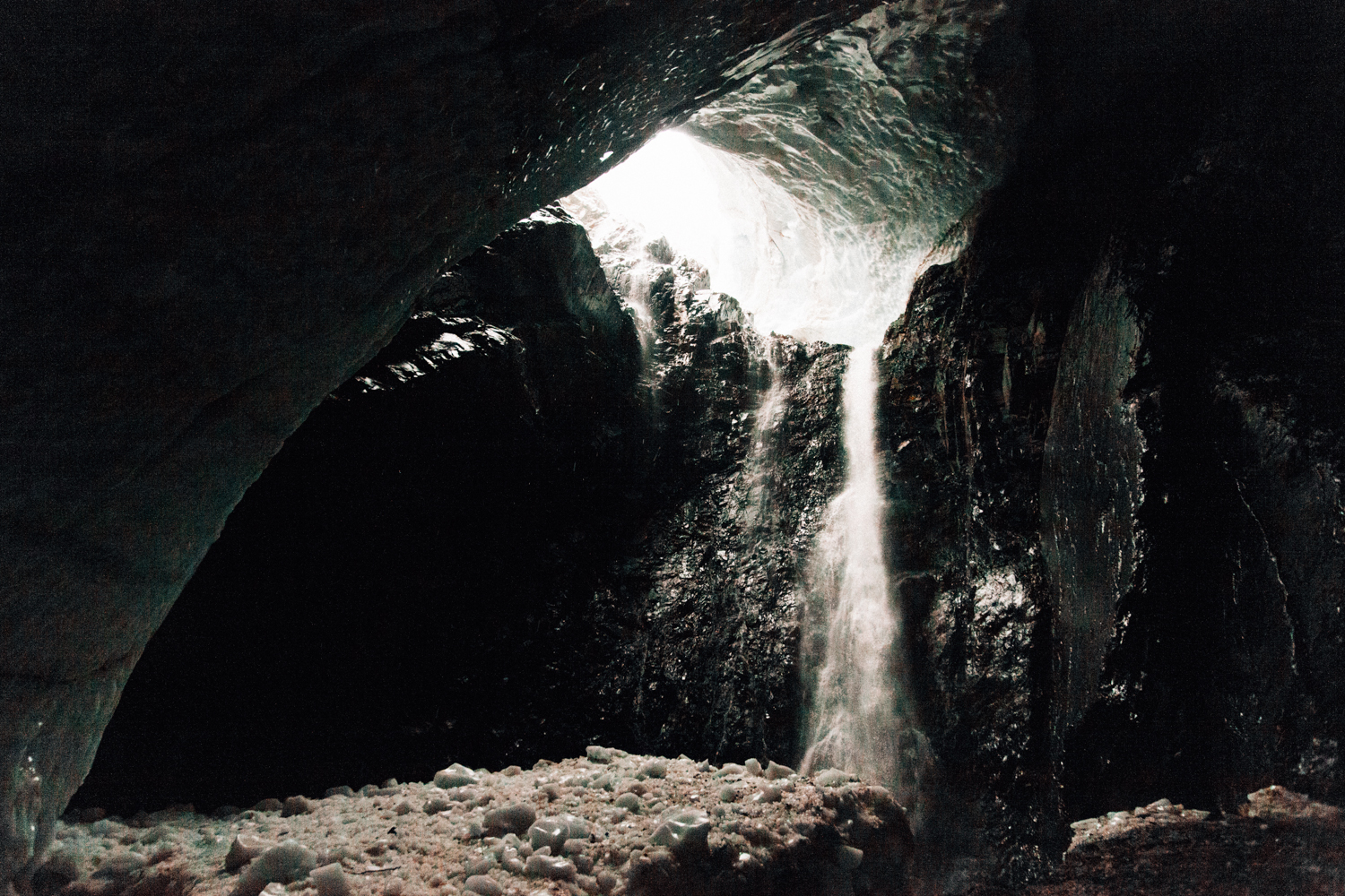
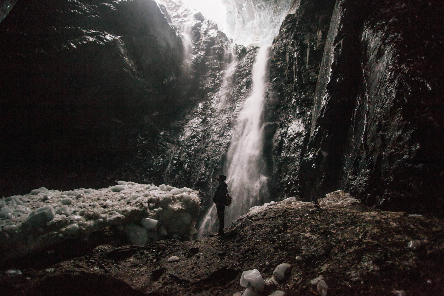
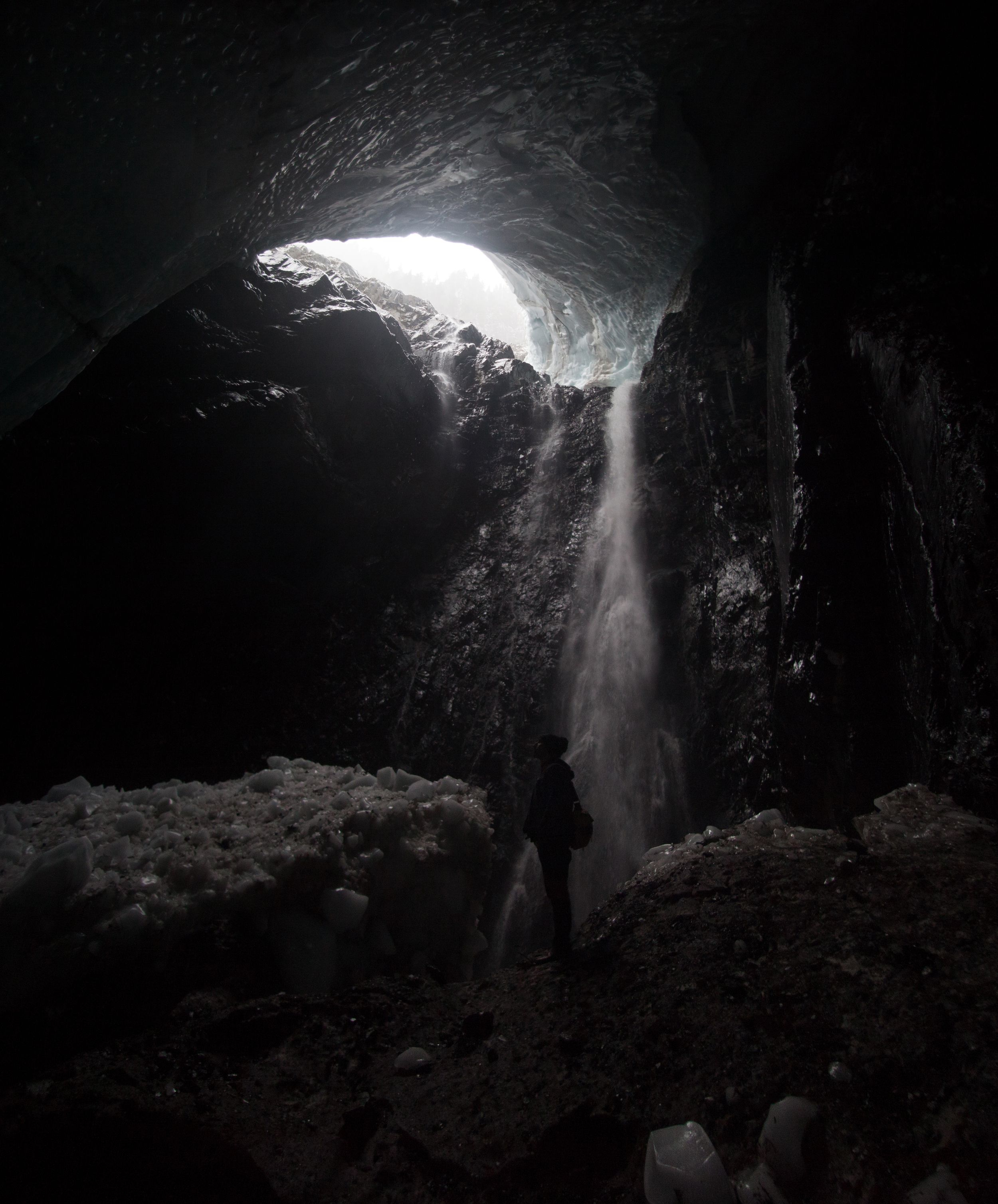
We admired the glacial waterfall for a mere 15 minutes before trekking back outside. Once out of the cavity, I honestly came to the realization that what we had done was extremely dangerous and life-threatening. We were all very thankful that we had made it out safely.
Still raining, we hiked west up a steep incline towards another boulder field, where we found a small fort made out of timber. hung out there for a bit before hiking down the mountain . We were completely soaked by the time we reached the car. I don't think I've ever been that wet in my life.
Today was truly amazing. Exploring is so much fun when you're with the right people. I think tomorrow we're heading to Snoqualmie Falls, so that's exciting!